Redistricting
See below for:
New County Maps & New Districts
Redistricting Resources
Resources for how to get involved with districting and redistricting from our partners
New County Maps & New Districts
Congressional Districts
The new districts that will be used for the next 10 years have been released by the Citizens Redistricting Commission, and they include significant changes. The maps below explain the changes that will affect San Mateo County on local, state, and national levels. Many cities have also recently adopted by-district elections.
The primary election will be on Tuesday, June 7, and the deadline to enter the race is in March. The top two vote-getters will move on to November's general election. This final election will decide who will be in that seat for that specific district.
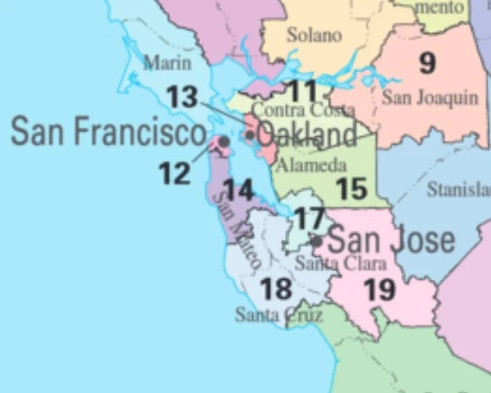
Current Congressional Map
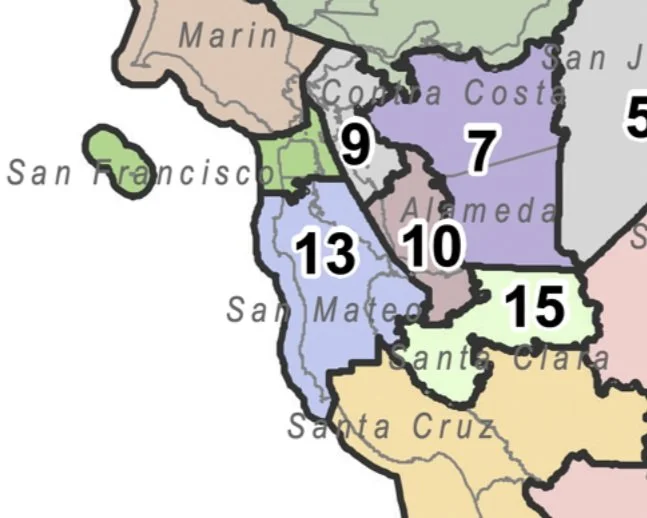
New Congressional Maps
New Congressional District Splits San Mateo County
Our new congressional district map includes large changes for San Mateo County (SMC). This map splits the county into eastern and western halves. The eastern portion of the Peninsula will now be grouped as a congressional district from Daly City to Redwood City, including East Palo Alto. The coastal side will stretch from Pacifica to Pescadero, inland to Palo Alto and Mountain View, and downward towards Los Gatos and parts of San Jose.
State Senate Districts
Current State Senate District Map
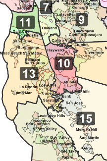
New State Senate District Map
Mid-Peninsula's New State Senate District 13
Sen. Josh Becker's District 13 will change slightly after the June primary elections. Regions such as south of Daly City and northern Santa Clara County will stay intact. Considerable changes are happening in the southeastern part of the Senate district. This district will now include Cupertino, Saratoga, Campbell, and Los Gatos cities. Read more here.
State Assembly Districts
Current State Assembly District Map
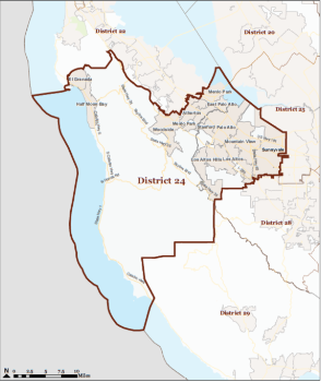
New State Assembly District Map
Two State Assembly Members & Only One District
The Citizens Redistricting Commission, which is redrawing the lines of political districts, has put Assemblymen Marc Berman, D-Menlo Park, and Evan Low, D-Campbell, into the same district for next year’s election.
County District
Current County Map
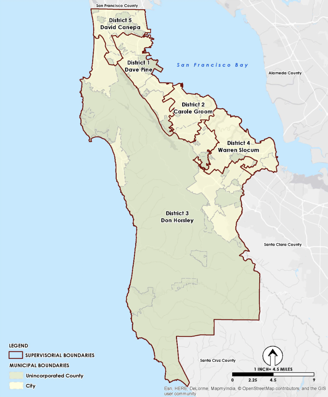
New County Map
SMC's Board of Supervisors Approve New District Lines
San Mateo County's Board of Supervisors approved the map above on Tue, Dec 7, 2021. Although the map has only minor changes, the Board of Supervisors will be changing significantly over the next two elections as the current board is prevented from running because of term limits. Supervisor Groom and Supervisor Horsely will term out in 2022. Supervisor Pine and Supervisor Slocum will term out in 2024.
Redistricting Resources
The California Citizens Redistricting Commission presented their new feature called Draw My CA Community. Check out this feature to let the commissioners know your thoughts on your community.
Online Tool: Heat Maps - Advancement Project California created heat maps of different characteristics.
Online Tool: Mapping COI Via Google - You can draw your COI boundary and mark landmarks using Google Maps.
Online Tool: Mapping COI via DistrictR - You can draw your COI boundary and mark landmarks using DistrictR. You can draw district boundaries using DistrictR.


